meteo
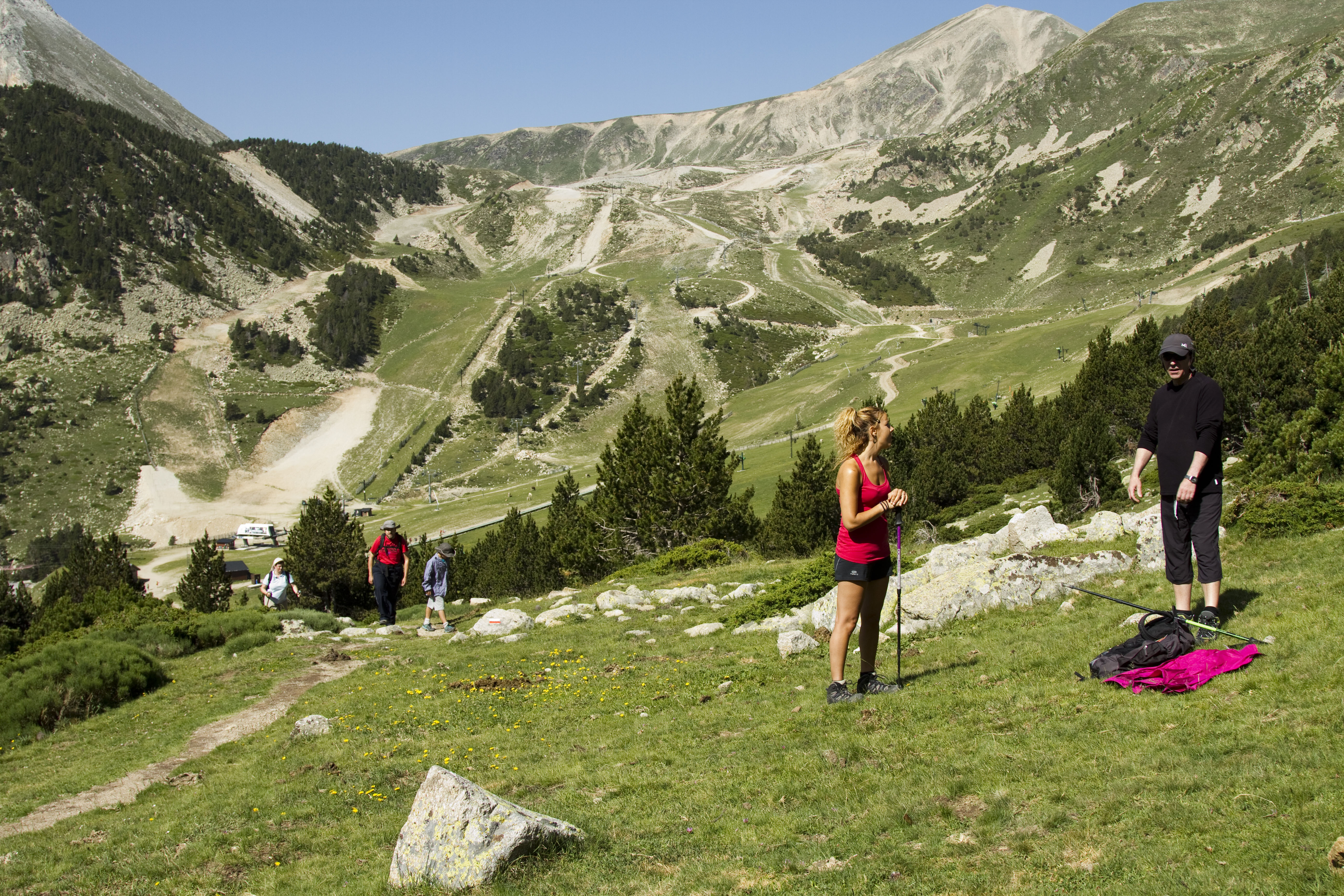
Discover the hiking trails offered around Vallter
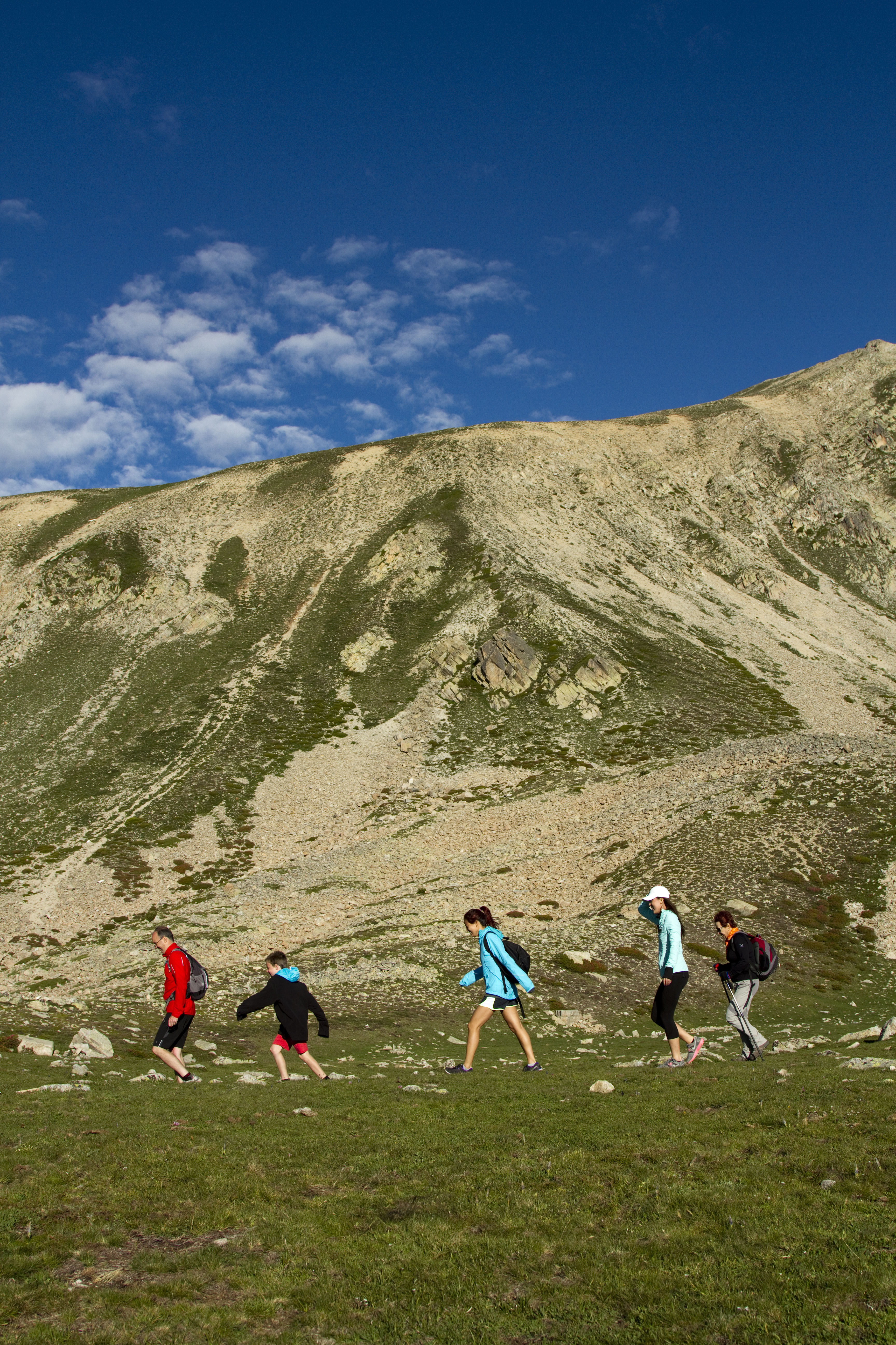
Summer in the mountains presents the perfect setting for family hiking. And in the case of Vallter, the area could not be more suitable to carry out this activity, as it has routes of difficulty levels for everyone.
The Vallter station is located in the circle of glacial origin of Morens - Ull de Ter, a situation that allows you to enjoy the unique and exceptional landscapes of the Pyrenees.
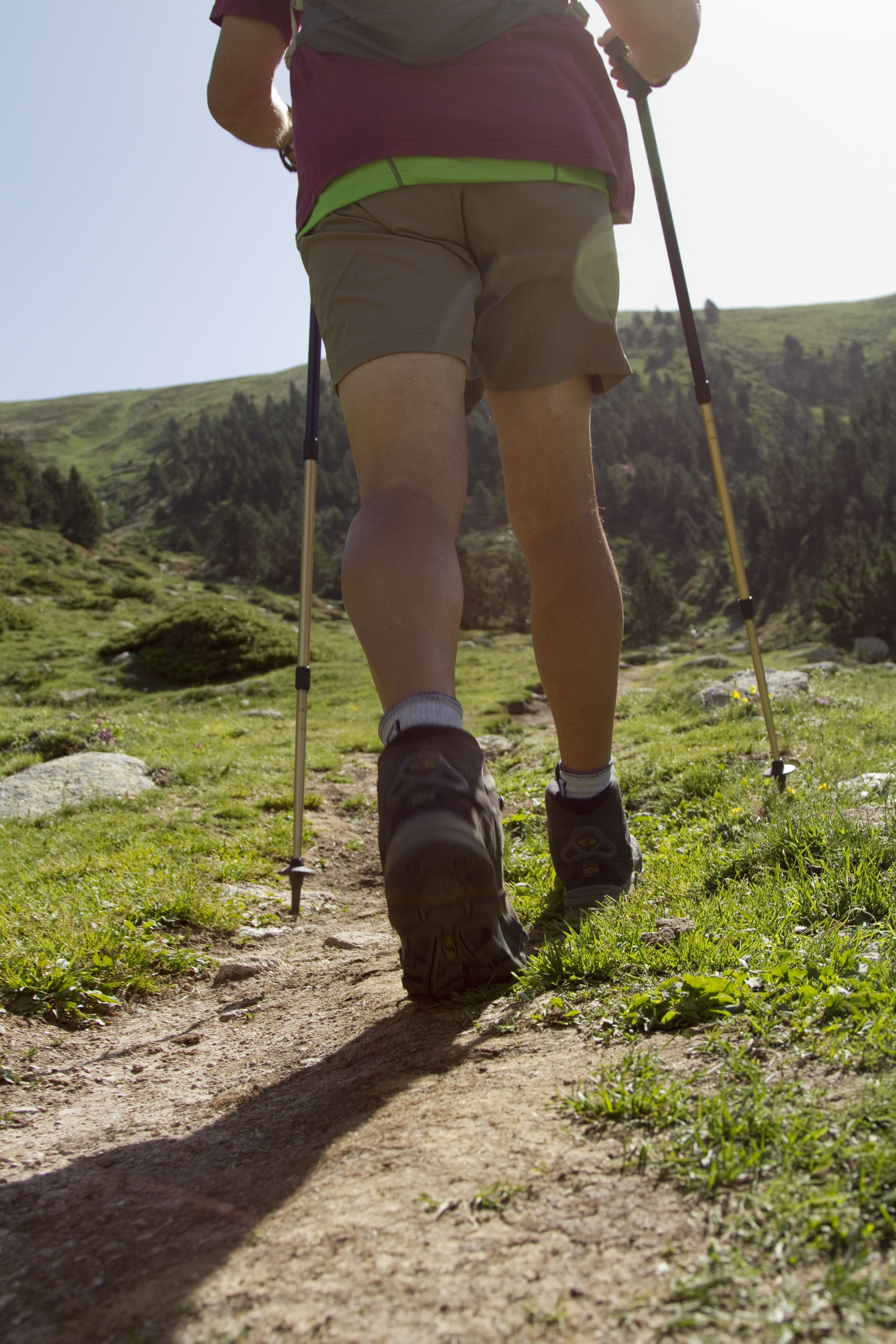
It is recommended to wear appropriate footwear and clothing for mountain activities, as it must be borne in mind that you are in high mountains. Weather changes can occur in a very short space of time, it is recommended to check the weather conditions in advance. It is everyone's responsibility to know the unforeseen events that may arise during the excursion.
The hiking trails that can be done around Vallter are suitable for adults and children, with low-medium difficulty. A map with marked itineraries is provided.
Elevation gaing: -320 m Difficulty: Easy
Lenght: 1,88 km Time aprox.: 50 min
We leave the chairlift in an easterly direction, with the views of the Portella de Mantet and the Plans de Campmagre in front of us.
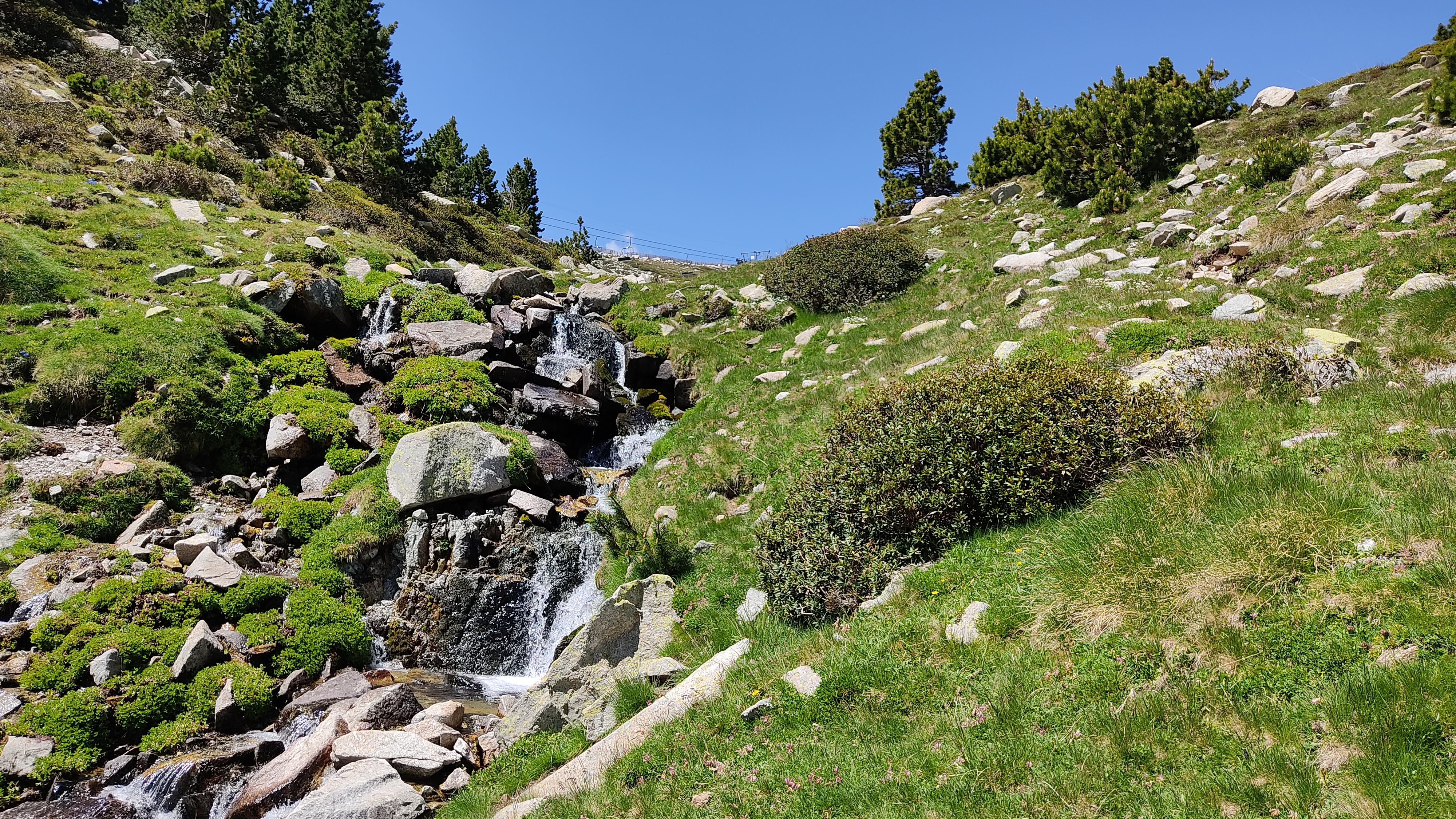
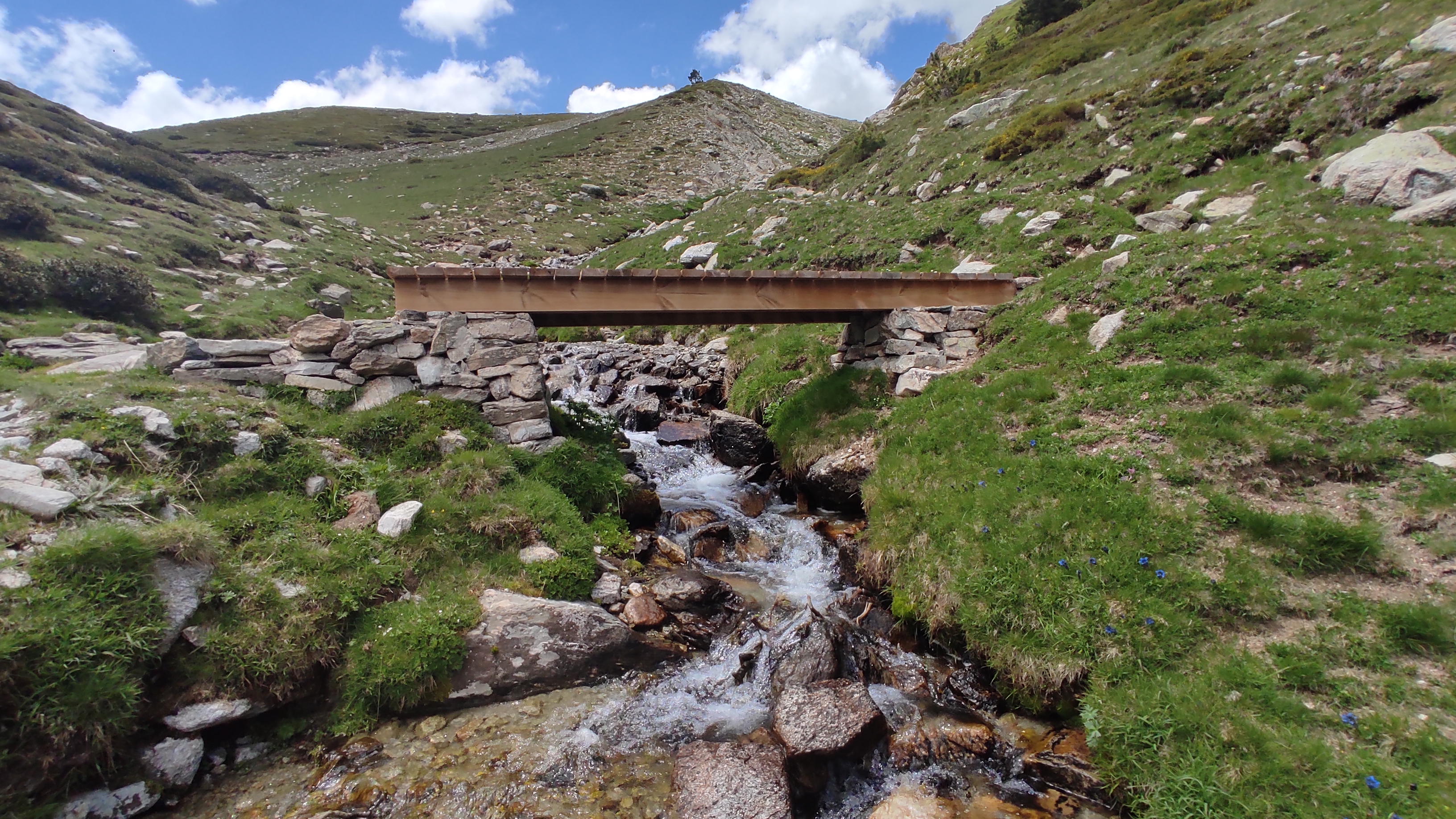
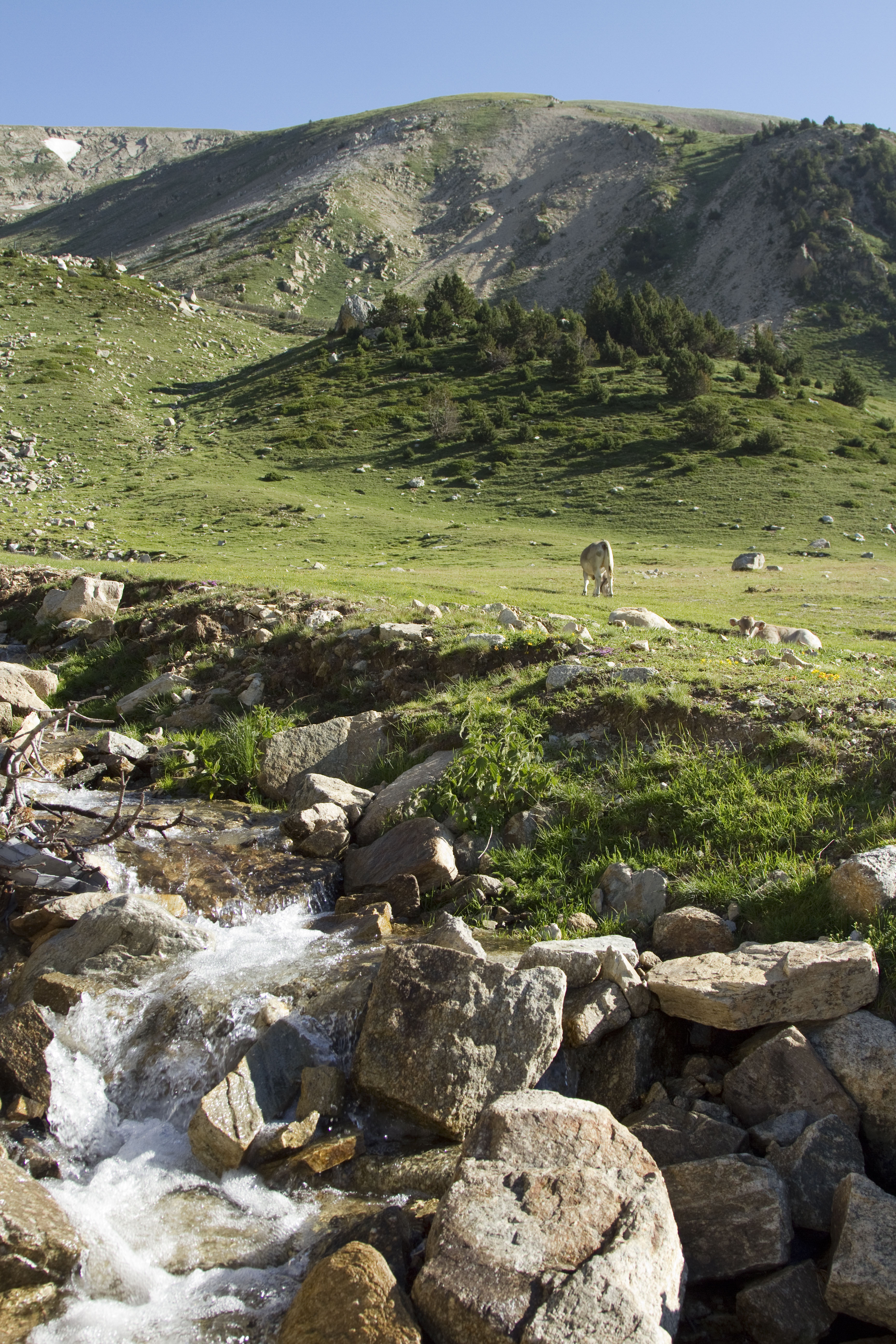
We will start descending to the Clot track with the Puig d'Ombriaga always on our left until we reach the Fonts de Morens, at this point we will leave the Clot track and enter some plains that lead to the Morens stream where we will go down following the stream and contemplating the waterfalls and the blue torus that grows at its edges.
We will reach the Morens pond, which we will go around to take the Clot track again, which will take us to the foot of Vallter station.
Elevation gaing: -320 m Difficulty: Easy
Lenght: 2,26 km Time aprox.: 55 min
From the chairlift we will start walking in a southerly direction, behind us will be the summit of Bastiments, the highest mountain in the area, with its 2885 m, viewpoint of the Eastern Pyrenees.
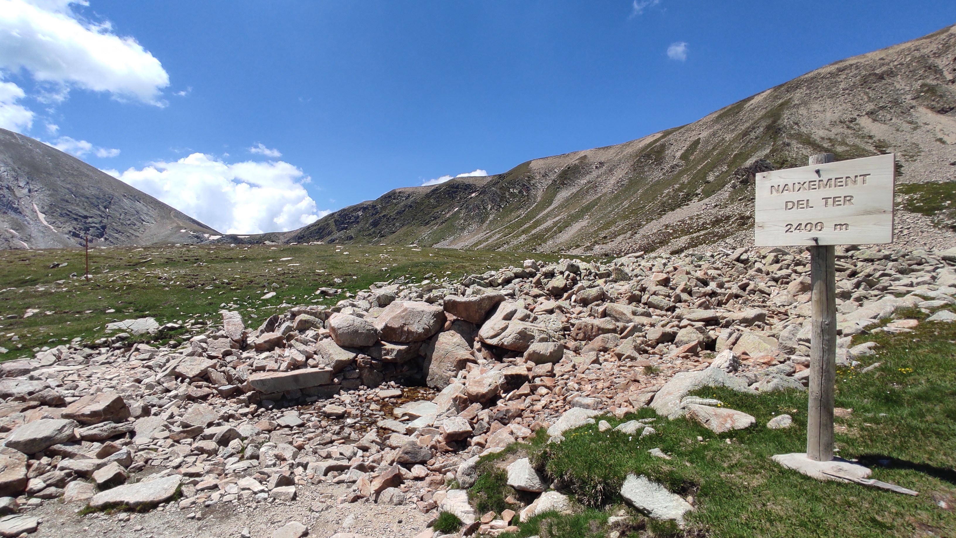
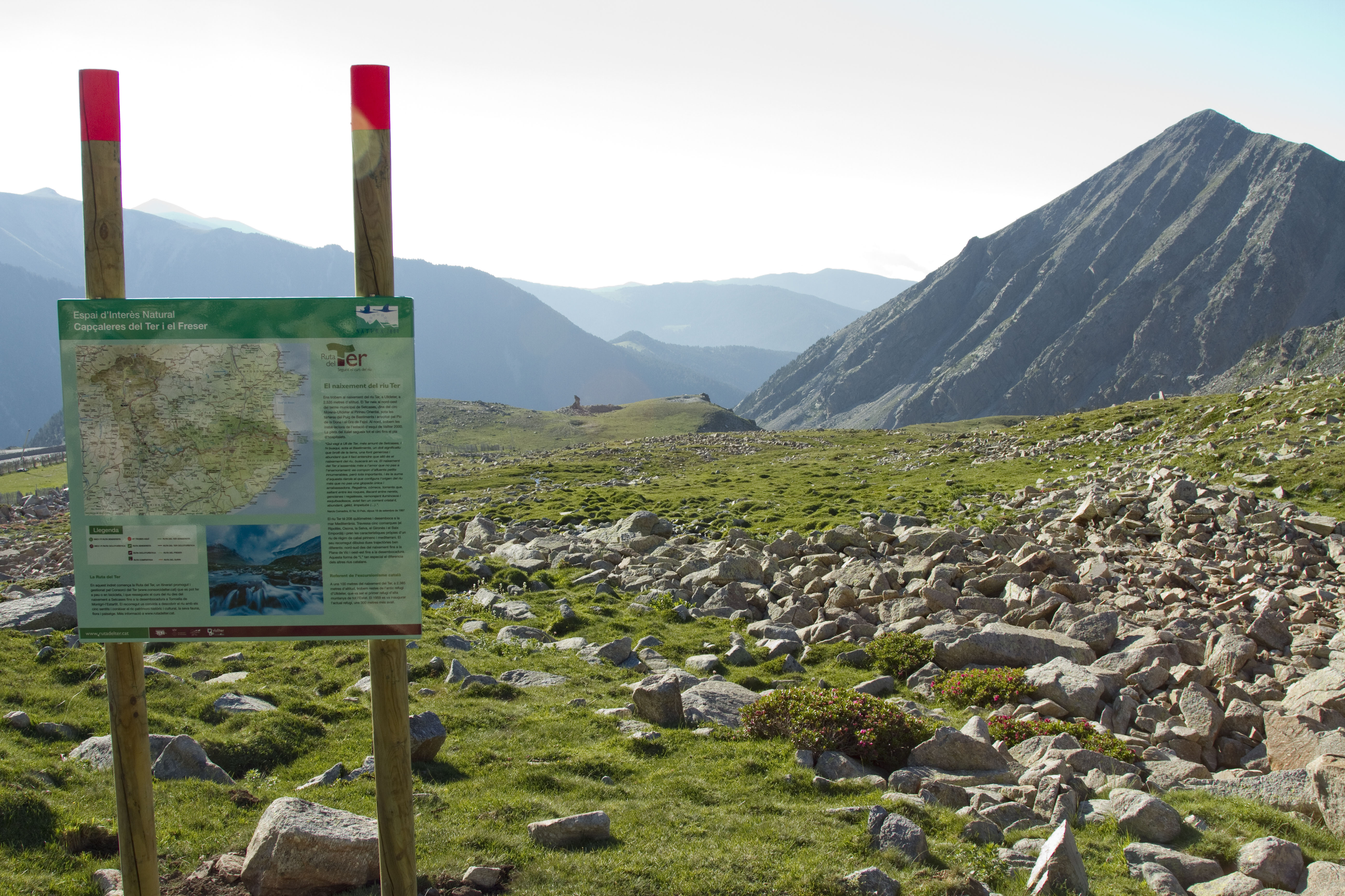
In front of us will be the Gra de Fajol, and then we will reach the birth of the Ter, a place that gives its name to the Vall d'Ull de Ter. We will go down a small valley until we reach the plains where we find the ruins of the old Ull de Ter Refuge, the first refuge in the Iberian Peninsula and the second in the Pyrenees.
At this point we will take a path in a northeasterly direction that will take us to the Barquins track, which we will follow until we reach a pine grove where we will enter. Leaving the grove we will have in front of the station of Vallter, we will only have to finish descending until the station.
Elevation gaing: -438 m Difficulty: medium
Lenght: 2,6 km Time aprox.: 1 h 15 min
From the chairlift we will start walking in a southerly direction, behind us will be the summit of Bastiments, the highest mountain in the area, with its 2885 m, viewpoint of the Eastern Pyrenees. In front of us will be the Gra de Fajol, and then we will reach the birth of the Ter, a place that gives its name to the Vall d'Ull de Ter.
We will go down a small valley until we reach the plains where we find the ruins of the old Ull de Ter Refuge, the first refuge in the Iberian Peninsula and the second in the Pyrenees.
We will continue down a path that leaves from the refuge in a south-easterly direction, which after a few turns will take us to Pla de la Calma and the current Ull de Ter Refuge, we will go around the refuge and take a path in the direction north and marked with white and red paint, is the GR-11 or trans-Pyrenees road. We will follow it, always at the foot of the Puig dels Lladres, until we reach the access road to Vallter.
Elevation gain: 335m Difficulty: Easy
Length: 1950m Time Approx .: 50 min
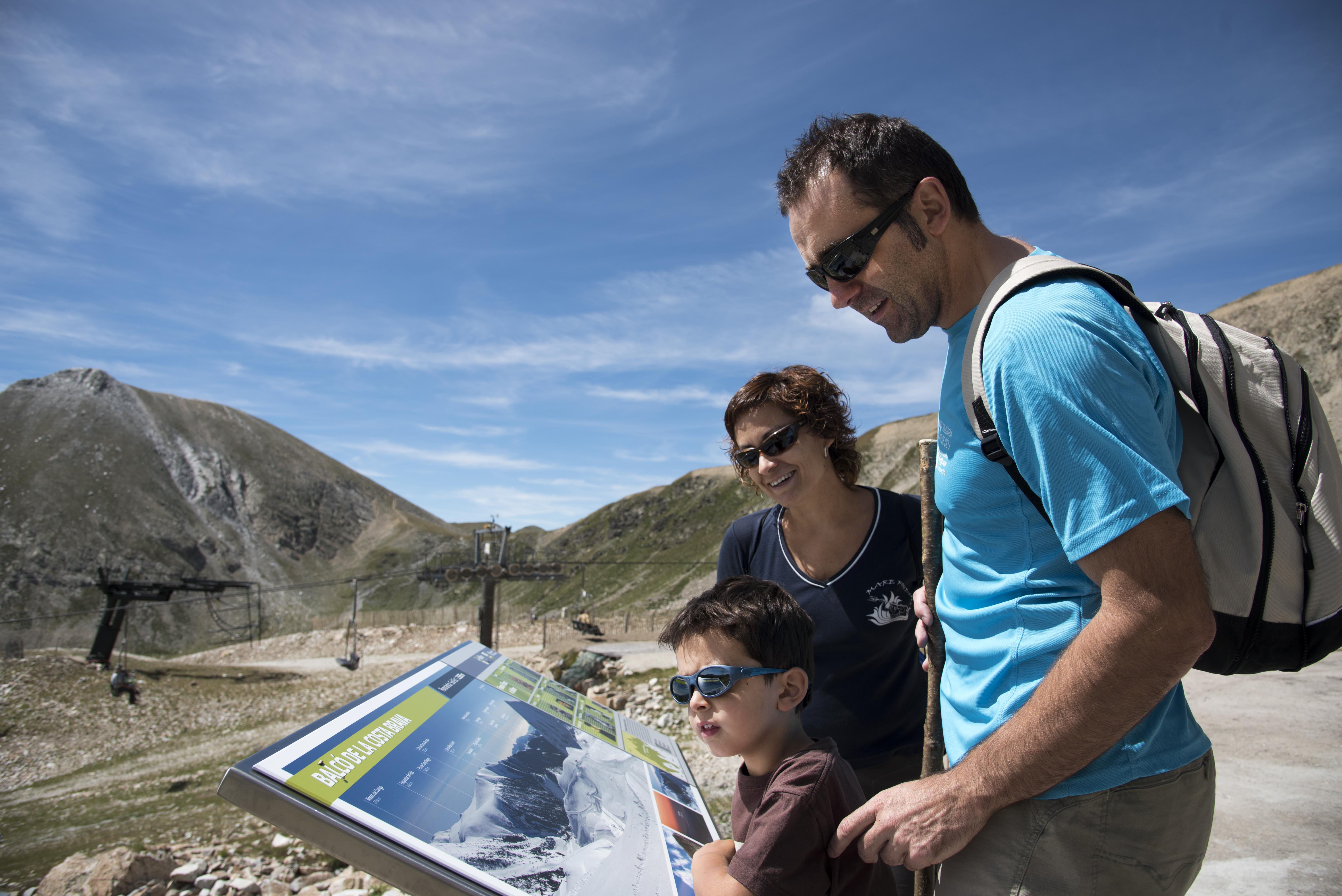
Arrival of the chairlift at an altitude 2535m. In front of the Cafeteria Les marmotes you will find the viewpoint of the Costa Brava. Lowering the track that goes below the lift and walking by the side of the artificial lake on the left side of the track until to reach the base of the resort.
Elevation gain: 335m Difficulty: Easy
Length: 1900m Approx .: 50 min
Arrival with the chairlift at an altitude of 2535m. Following in front of the chairlift, find a flat path leading to the source of the River Ter walk 150m. From there you can continue down the path that leads to the ruins of the old refuge and continue on the track that is marked to the base of the resort.
Elevation gain: 535m Difficulty: Easy
Length: 2500m Approx .: 1'15h
Arrival with the chairlift at an altitude of 2535m. Follow the path in front the chairlift, that leads to the source of the River Ter walking aprox 150m. From there you can continue down the path that leads to the ruins of the old refuge to stay on the track down towards the new refuge of Ulldeter along the base of the Gra de Fajol mountain on the Route GR-11. You will arrive at the bottom of the resort at 1950m and back to the resort with a 15 minutes walking up the road.
Elevation gain: 340m Difficulty: medium
Length:1650m Approx .: 1'30 pm
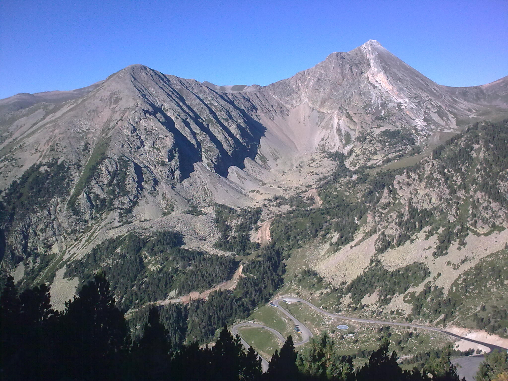
After the arrival with the chairlift, follow way to the source of the River Ter. Following the GR11 up to the Coll de la Marrana. Once there, turn right and start climbing the Bastiments until you reach a point where the rise is already steeper. We continue up to the first cross and heading west to reach the top of Bastiments peak. From the top you can see Bacivers lake and ponds Coma Mitjana and if you look west, you will see Freser peak and peak of Infern.
Elevation gain: 175m Difficulty: medium
Length: 2300m Approx: 1.30 pm
After the arrival of the chairlift, follow way to the source of the River Ter below the GR11 up to the Coll of the Marrana. Once there, turn left (south) and follow the path that leads to the Gra de Fajol peak. Once at the top, the view of Bastiments area and Vallter are spectacular. At the east, there is the small Gra de Fajol peak, which is accessible by following the ridge.
Elevation gain: 248m Difficulty: Easy
Length: 2000m Duration: approx 1'30h.
We leave from the restaurant building at the right to direct us towards the NE up the portella. When we get to the Pla de la Portella continue heading northeast to find the torrent or Clot de la Portella that take us to Portella de Mantet at 2411m just at the France border. Looking east, you can see the emblematic peak of Canigou.
Length: 7'5km Difficulty: Medium-high
Duration: 2'30h Slope: 575m
Circular route around the cirque of Morens and Pic de la Dona. The route climbs up to the Portella de Mantet, natural step towards Conflent and ridge up to the Pic de la Dona and his twin peak Bacivers. The return is done by the width of the neck down to the bottom of the cirque of Morens currently are the ski slopes of Vallter. During the tour is very easy to see chamois, marmots and vultures among other animals of the high Mountain fauna.
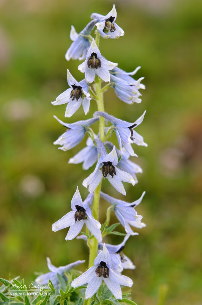
It is an endemic plant that in Catalonia is listed as threatened. The known population of this species is Ripollès stream Morens (Vallter).
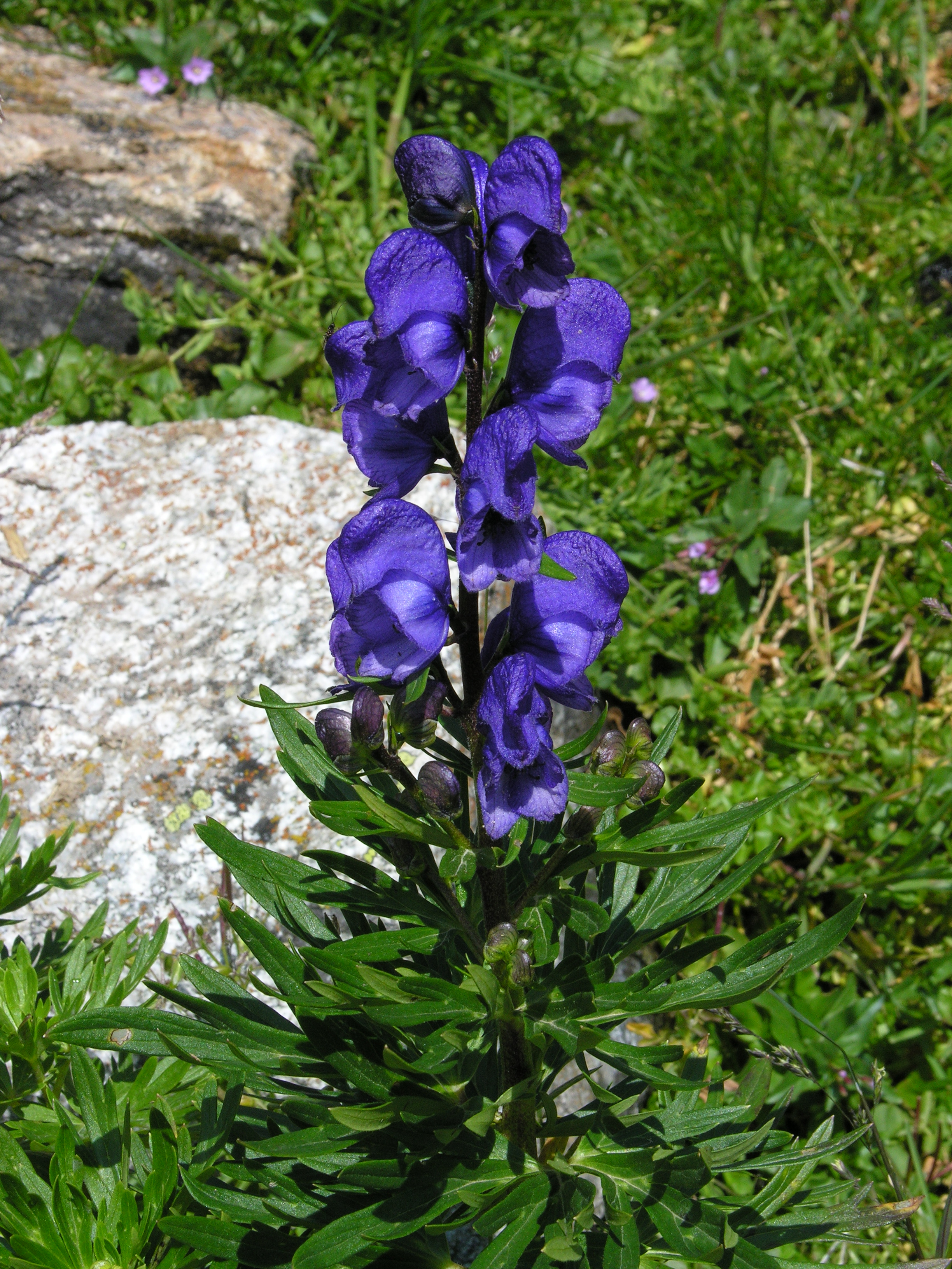
It is considered the most toxic plant in Europe and can be found in abundance in the Pyrenees. A plant very beautiful but very dangerous. Look at it but not touch !!
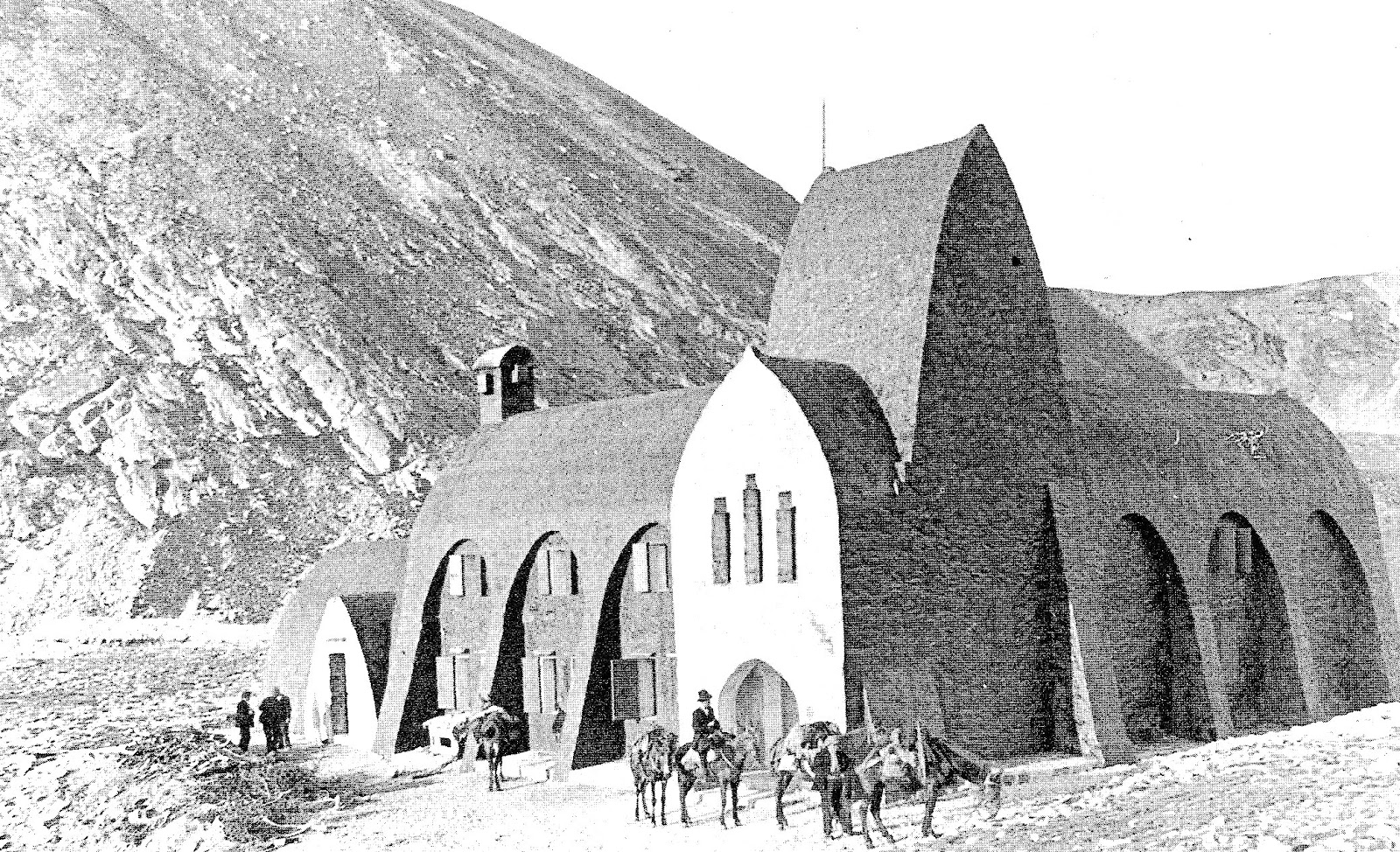
Open 25 July 1909 is considered to be the first mountain refuge in Spain. In nineteenth-century style, dynamited by the Franco troops during the civil war so that there no shelter for the maquis.
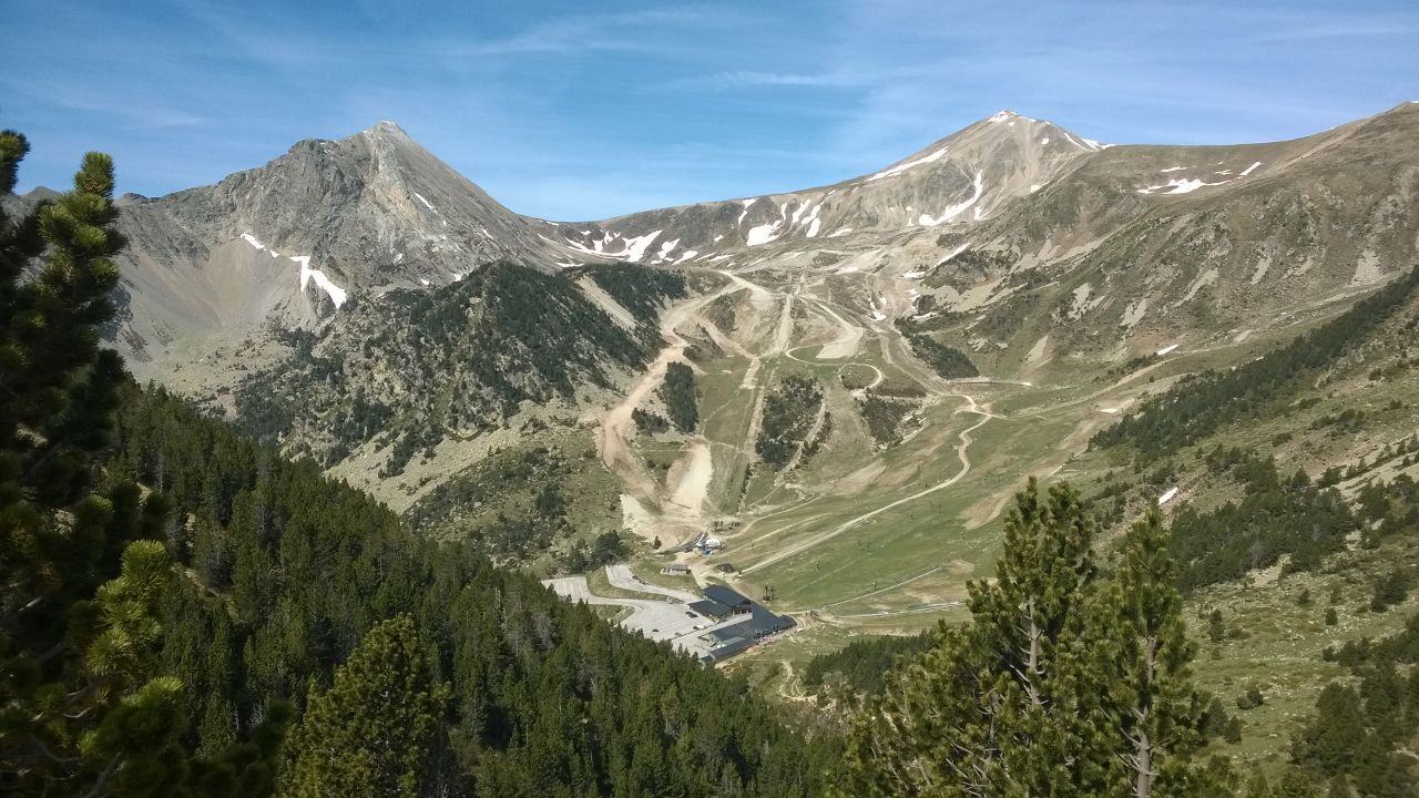
It is framed by the Pic de la Dona to the east (2704 m), the Bastiments (2881 m) to the north, and Gra de Fajol in the southwest. These are separated by Coll de la Marrana (separating the Gra de Fajol ans Bastiments), which gives access to the valley of Freser on the other side.

It is a route on foot or by bike created by Alba-Ter Consortium linking the Pyrenees and the Costa Brava, by a route that follows the river Ter that crosses five regions of Catalonia.
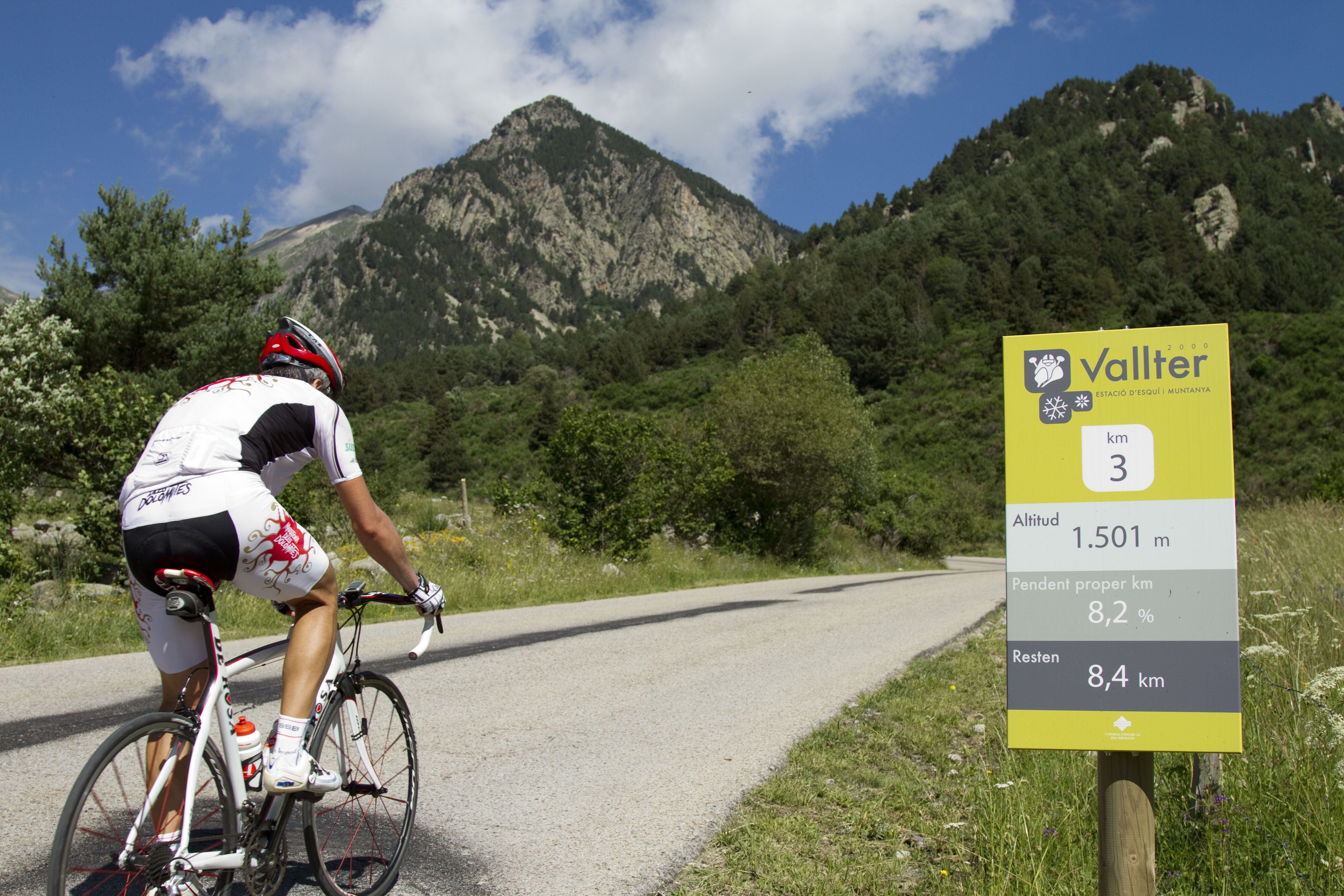
This is a decent ride with signposts throughout the climb. Distance: 12,2km. Incline average: 7.4%
 OTHER FGC TURISME WEBSITES